|
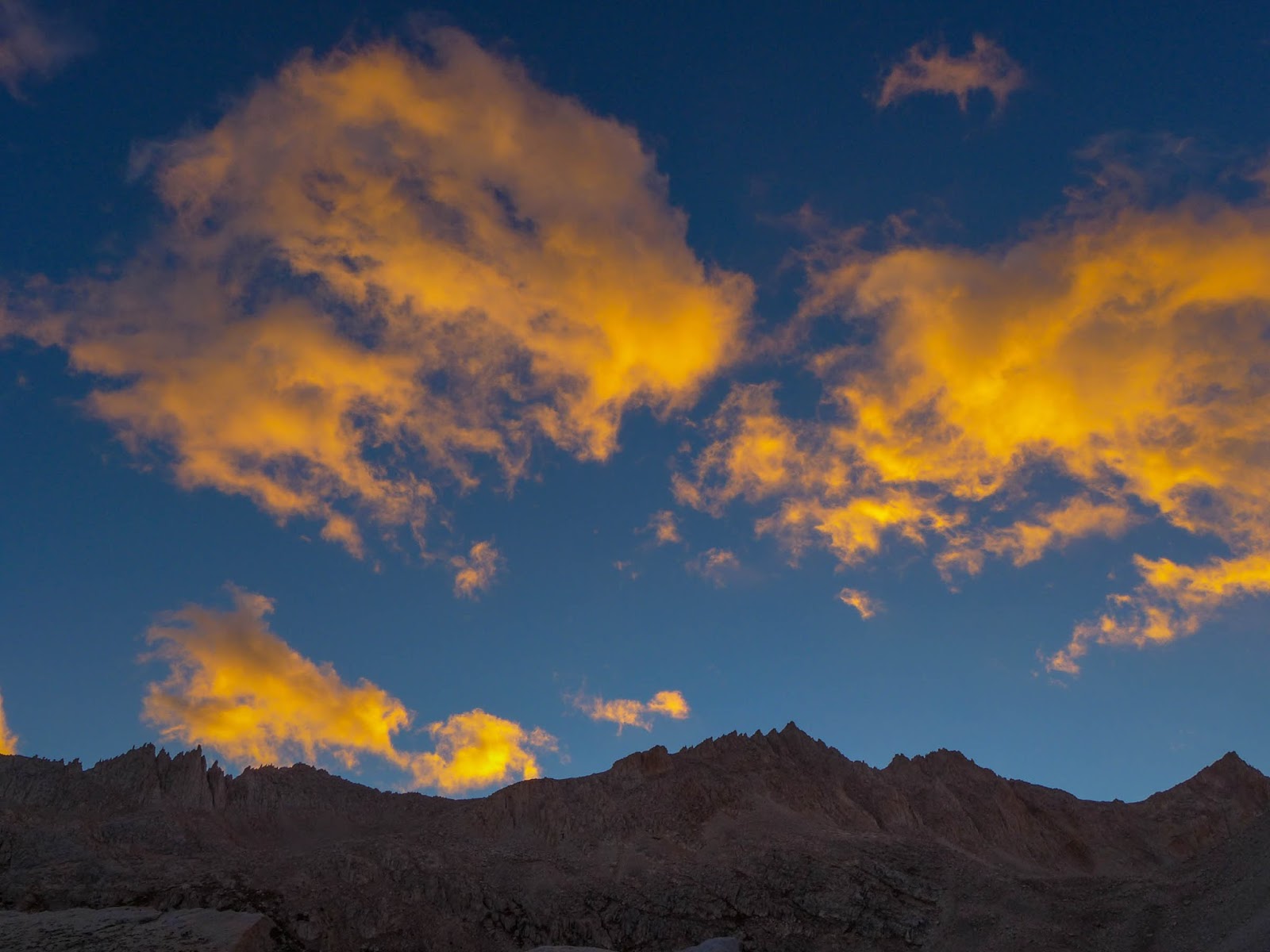
| Morning Clouds Near Lake Italy |
This year's 6 day High Sierra hike took us (Paul/Janet) over Mono Pass near Rock Creek, into the Mono Recesses, then a cross country route over Gabbot Pass to Lake Italy. After a layover day to explore the Lake Italy basin, we headed over Cox Col (13,040') to return to Little Lakes Basin. It is at Cox Col where we ran into some difficulty on an otherwise smooth trip. If you'd like to cut to the chase, just read Day 5!
Day 1 - Rock Creek, Mono Pass, Golden Lake
We start our hike at around 12:30 P.M. at Mosquito Flat near Rock Creek.
 |
| Janet works her way up the Mono Pass Trail |
I like to do a half day on the first day, just to get used the pack and the hiking. In an afternoon, we can always get in far enough beyond the day hikers so all is good. The trail head here is at 10,200' so it's an easy 1800', 3 mile climb up to Mono Pass, one of the easiest ways over the Sierra Crest.
 |
| View of Little Lakes Basin as we ascend Mono Pass Trail |
 |
| Ruby Lake from Mono Pass Trail | | |
|
 |
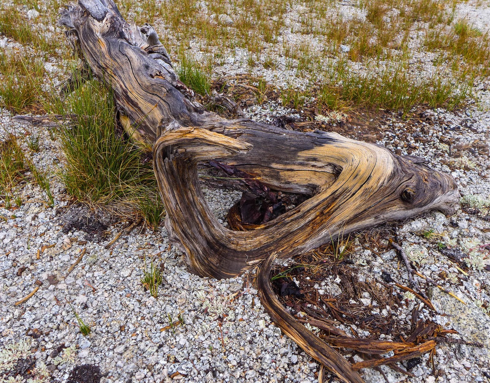
| Old Stump, Mono Pass Trail |
 |
| Janet ascends near Mono Pass |
 |
| Strange looking dude near Mono Pass |
 |
| A hiker ascends the North side of Mono Pass as we descend to Summit Lake |
 |
| Janet descends near Summit Lake North side of Mono Pass |
 |
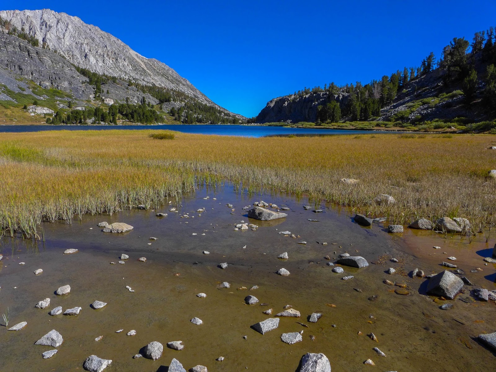
| Summit Lake North side of Mono Pass |
 |
| Summit Lake North side of Mono Pass |
 |
| Red and White Mountain from near Mono Pass |
 |
| Janet descends toward Golden Lake |
 |
| Paul descends off trail toward Golden Lake |
 |
| Golden Lake comes into view. There is a good use trail high on the Western (left) side. |
We camp that night at Golden Lake (10,994') and have it to ourselves.
 |
| Paul cooks dinner at Golden Lake |
 |
| Our camp at Golden Lake... blissful evening before the rain |
 |
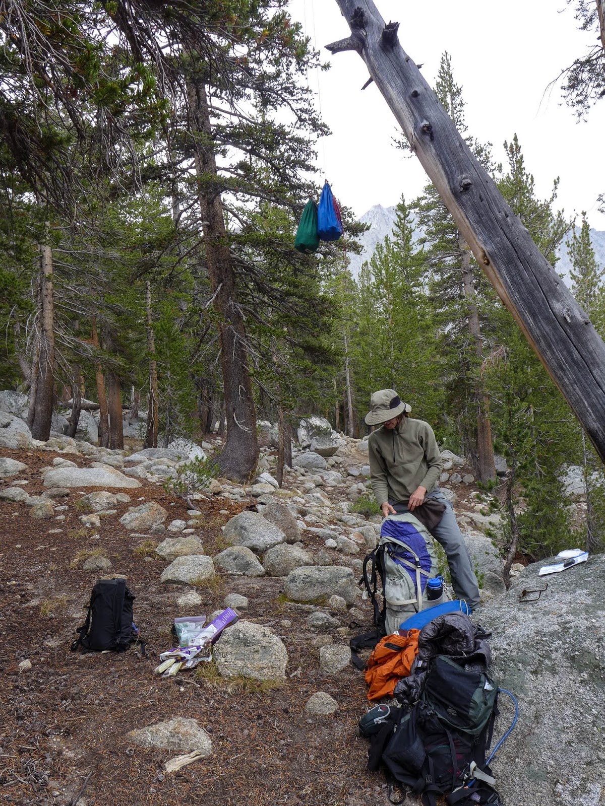
| In the absence of large trees, I look for a huge boulder to hang food. I can't explain the fancy footwork. |
John Miur once said, "It never rains at night in the Sierra." That may have been true in his time, but now it's "almost" true. Earlier in the day we are treated to beautiful clouds and a nice breeze, but things are changing as we sleep. During the night we begin to here pitter patter of rain on our fly-less tent, so we jump out of our bags, do the midnight ramble to get the fly on, and we're back in the bags.
 |
| Morning at Golden Lake. Fly is on the tent. |
Day 2 - Golden Lake to Pioneer Basin to Second Recess
As day breaks on day two, it's intermittent very light rain, mostly off, so we're able to have breakfast and pack up without everything being too wet. We hike down the drainage of Golden Lake to the Mono Creek trail.
 |
| Hiking down the drainage of Golden Lake to Mono Creek Trail |
At the trail junction to Pioneer Basin, we ditch some of our gear, hang our food, and proceed to explore Pioneer Basin during the late morning.
 |
| Hanging food and ditching some gear for the Pioneer Basin hike. |
It's a splendid hike, we do a loop up the West side of the Basin along
the lakes, all the way up to the uppermost lake at 11,200', then
returning on a wonderful use trail along the East side of the basin.
It's raining off and on all day, but very lightly, and it's really not
much of a bother.
 |
| Janet hikes in the light rain in Pioneer Basin |
 |
| Lake, light rain, Pioneer Basin |
 |
| Dead wood, Pioneer Basin |
 |
| Colorful Lichen, Pioneer Basin |
 |
| Lunch break in Pioneer Basin |
 |
| Lake in Pioneer Basin |
 |
| Looking down Pioneer Basin from 11,000' |
 |
| Drainage, Pioneer Basin |
 |
| Dead wood, Pioneer Basin |
 |
| Janet hikes down Pioneer Basin |
 |
| Paul hikes down Pioneer Basin |
We pick up our ditched gear and march down the Mono Creek trail to Second Recess.
 |
| Janet heads down the Mono Creek trail toward Second Recess |
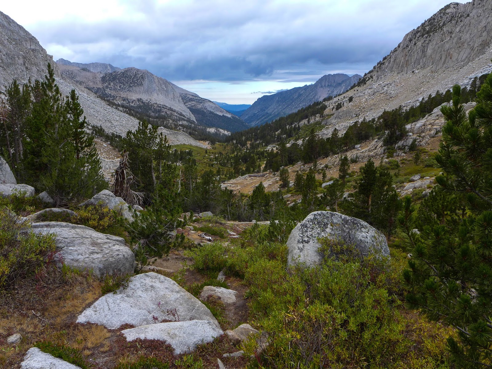
We're not much for trails, really, and much prefer cross country hiking in the high country, but this "lowland trail" is a necessary evil to get us back into the high country. Today is a bit of a trudge, and Janet announces that she's had enough as we reach the Laurel Creek trailhead. I negotiate that we make it to Second Recess (less than a half mile) and from there we'll take the first camp spot. We arrive at the trail junction, and there is excellent camping there... but it's occupied. We cross Mono Creek on the Second Recess trail, which is high enough so that there is no easy crossing with dry feet. We remove our shoes, cross the creek (easy knee high water), and proceed a short way up the trail. Camping is very limited, but we find a nice little spot with a nearby creek. Dinner and a few sips of red wine make for a good conclusion to the day. The rain has subsided, but there are no stars. We put up the fly.
 |
| Camp in lower Second Recess |
 |
| Your caption here... |
Day 3 - Second Recess, Gabbot Pass, Italy Lake
We awake refreshed and ready to head back to the high country. Our camp is at 8500' and Gabbot Pass is at 12,240, so we've got a bit of a chore to do today.
 |
| Back lit Aspen leaves getting ready to turn |
|
 |
| Janet climbs to higher ground in Second Recess |
 |
| Climbing up the steep Mills Creek drainage en route to Gabbot Pass |
 |
| Dried mud flat near Lower Mills Creek Lake |
The cleverly named Gabbot pass is between Mt. Abbott and Mt. Gabb. There is a good trail up the first part of Second Recess, so we make good time. Once we turn off and follow Mills Creek, things get a bit harder. The use trail is hard to find or nonexistent. We follow what we think is the right way but eventually end up higher on the ridge North of Lower Mills Creek Lake than we'd like to be. So we traverse, holding our elevation, and make our way back toward Mills Creek. There we find ourselves bushwhacking through thick Willows. We finally spring ourselves free and things open up near Lower Mills Creek Lake. Ahhh, back in the High Country!
 |
| Beautiful Lower Mills Creek Lake. Gabbot Pass is center right. |
 |
| Climbing above Lower Mills Creek Lake to Upper Mills Creek Lake |
 |
| Looking down at Lower Mills Creek Lake (10,851') |
 |
| Enjoying a nice lunch at Upper Mills Creek Lake |
From here up to Upper Mills Creek Lake is gorgeous, scenic, and easy. We climb above the Upper Lake, and make our way to the little tarn just below the pass.
 |
| Terrain above Upper Mills Creek Lake |
 |
| Working our way up the talus below the final small tarn |
 |
| Small tarn near the summit. Gabbot Pass is upper center. |
 |
| Looking back at the small tarn before the summit |
 |
| Final summit push up the talus. Gabbot Pass is an easy Class 2 hike. Small tarn in background. |
 |
| The final push to Gabbot Pass. |
There is some talus hopping to do here, but it's all straightforward and easy. From the small tarn it's one more push of talus over the pass, then an easy hike down to the Lake Italy Basin.
 |
| The South side of Gabbot Pass is easy |
We choose to camp at Toe Lake, which is the western extension of Lake Italy. It's a bit windy, but we set up our tent and kitchen area for optimum views of the lakes.
 |
| Clouds above Lake Italy |
 |
| Camp at Eastern shore of Toe Lake (Lake Italy) |
Day 4 - Exploring Lake Italy Basin
 |
| Brewing morning coffee near Lake Italy |
 |
| Janet seeks shelter from the wind and the comfort of a warm cup of tea |
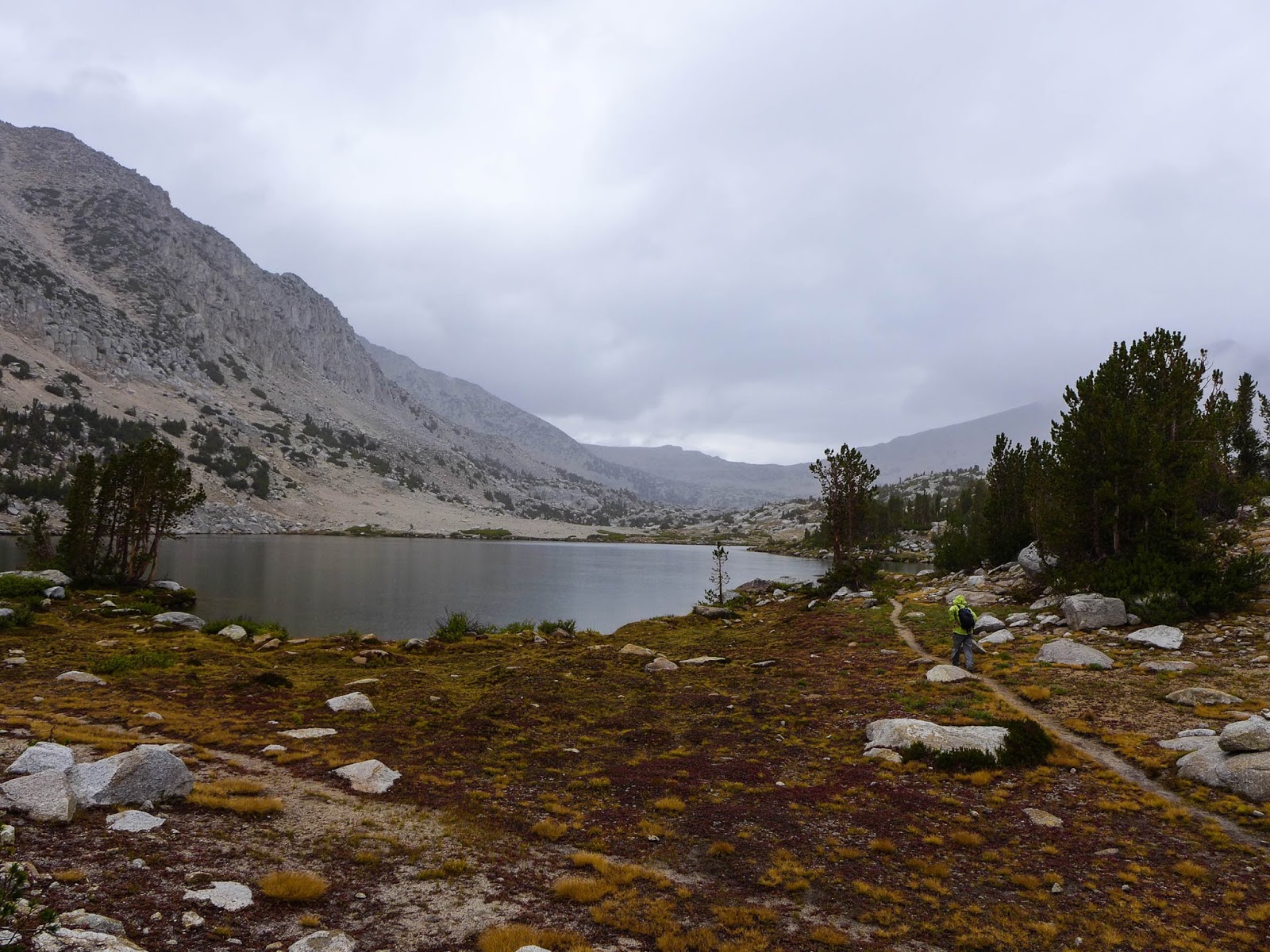
Today is a layover day, but doesn't go quite as planned. The idea is to go to Italy Pass and down to Granite Park to explore for a bit. However, I don't really study the map or compass very well, and instead we find ourselves at a 12,000' lake directly East of Toe Lake. The good news is that the lake is beautiful, and we'd otherwise probably never go there so it's nice to see it!
 |
| Intense morning light on our talus climb |
 |
| Looking down at Toe Lake and Lake Italy as we climb. |
 |
| Beautiful Lake at 12,000' near Lake Italy. Rarely visited. |
I decide we'll try to traverse, keep our elevation, and try the next pass over. the un-named pass between Italy Pass and Toe Lake. The traverse is tedious, and the pass looks challenging, so we throw in the towel on the idea, and rather, decide to head for Jumble Lake for a nice lunch.
 |
| Janet negotiates a traverse on tricky talus |
 |
| Janet is dwarfed by the huge talus slope. Can you find her in the center? |
Making it up and over Italy Pass at this point is out of the question. We decide to try the more difficult, but shorter route along the South side of Lake Italy. This involves some big talus hopping, with Smart Car size boulders, but it's fun and goes pretty quick. We make our way to Jumble Lake, and the wind is howling, so we choose to descend and find some shelter a bit lower behind a rock for our lunch. On the return trip, we hike clockwise around Lake Italy, a much easier but longer route.
 |
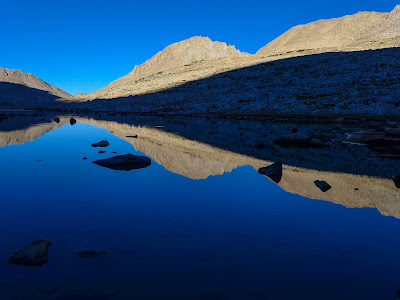
| Jumble Lake above Lake Italy and below Italy Pass |
 |
| Hiking around Lake Italy |
 |
| Beach and Surf on Lake Italy. It was very windy, |
 |
| Looking across at the South Shore of Lake Italy, a talus problem we tackled earlier in the day. |
 |
| The wind continued to pound us, so we moved the tent and kitchen behind the big boulder and it was effective. |
Day 5 - Lake Italy, Cox Col, Treasure Lakes, an epic adventure
 |
| After being pummeled by the wind for 2 days, we wake up to a calm morning. Janet says, "This is how it's supposed to be." |
 |
| Paul heads out toward Cox Col (upper middle right) with a clean slate. No worries, we have no idea what is in store. |
We head out in the morning for Cox Col, a 13,040' notch in the crest that will take us back to Little Lakes Basin. We survey the route from our campsite, and we have the route more or less dialed. We hike up easy slopes with some talus and grass on the lower slopes, giving way to larger talus fields as we ascend. At about 12,400' we can't see the col, so I pull out the map and compass, establish our location, then determine exactly where the col is located.
 |
| Checking the location of Cox Col with map and compass |
 |
| High Elevation Granite |
 |
| The high country for sure, near 13,000', Mt Abbot (13,704') in the distance. |
 |
| Janet works her way up the final sandy slope to Cox Col |
We proceed, and make the Col perfectly, walking up the easy, final sandy slope. The view into Little Lakes Basin is absolutely stunning. Just amazing!
 |
| Little Lakes Valley from Cox Col |
 |
| Janet surveys the down climb problem from Cox Col |
But I look down the notch and see a very challenging down climb! It's OK, though, my old guide book, R.J. Secor's First Edition, Peaks, Passes and Trails, describes a slightly easier route down the next notch to the South. I've ascended this route in the past and didn't remember anything particularly difficult... But things have changed.
 |
| Happy times at lunch, the calm before the "storm." |
 |
| Just before dropping in, I had scouted the down climb at this point. You can see the concern on my face. I know what is coming. |
After a nice lunch, I take Janet over to the next notch and show her what is involved. There is a move you have to make to drop into the chute, and she isn't comfortable doing it with her pack. No problem," I say, "You go first without pack and I'll hand it down to you." She goes, makes the move, and when it's time to hand her the pack, she isn't able to take it. She needs to drop down more, but then she'll be out of reach. No problem, I'll just make the move myself, and when I am on the ledge, I'll grab the pack with one hand and pass it down. I execute this move, hanging on for dear life with one hand, while I pass Janet's pack down with the other.
 |
| In order to enter the chute, you've got to enter left, then grab that rock tongue on the right, swing down, and drop in. It's straight down. The talus you see below in the middle is 500' down. |
Janet is down in the loose chute now, and there is a secure place to stand at the top. I am in a holding pattern on the ledge. Janet attempts to put her pack on but just can't seem to get it done. She just isn't comfortable, so finally just ejects the pack and lets it go. It bounces to the ground in the chute, but stays put. However, her Blue Enamel Sparkly Steel Cup ejects from the pack and tumbles down the chute. Clankety Clank, Clank, Clankedy Clank Clank. This goes on for what seems like 3 weeks. The sound is quite loud, and is echoing off the walls of Bear Creek Spire. I know everyone in the Lake Basin below can hear the sound. It just goes on and on. Janet and I look at each other thinking the same thing. "This isn't good." If the cup goes forever, then if we fall, we'll likely tumble to our deaths.
I tell Janet just to get herself down the chute, I'll deal with her pack either by carrying both packs down, or coming back for it. She starts down, in near panic mode, and puts her foot on a huge 300 lb. rock that looks stable. But nothing in this chute is stable. The big rock begins to slide, as does Janet. She arrests herself, but is in full panic mode now. I tell her to stay put, and I'll come around her. Perhaps if I am below, she'll feel more secure. I inch down the chute with my own pack and also Janet's. I relay her pack down, a few feet at a time. Each move I try to find a place where her pack will stay put, then I down climb a few feet, then repeat.
I get below her in a safe place. The chute is so loose that any moves by the person above will send a rock and scree slide down on the lower person. But I am hiding behind a rock and ask Janet to come down. I have a firm hold and can offer an arrest if she needs it. She makes it down to me and now it's my turn to move lower. There are no more safe places to hide, so I will need to make it down to the bottom of the chute and Janet will be on her own.
 |
| Janet works her way into the upper part of the chute at Cox Col |
I make my way down on the left side of the chute, but then notice that all the scree that I am releasing is going over a ledge. It isn't safe for me to continue, so I move to the right side of the chute and move down. After a bit I am near the end of the chute, but the last part looks really difficult. Now the left side looks better. So I move left all the while moving Janet's pack down with me, trying to find secure places where it will stay put while I move a few feet down. I'm thinking to myself, wow, I really have my hands full here! Trying to negotiate this thing with two full packs, plus trying to keep Janet calm enough so she can make it down safely.
Now I am on the left side of the chute. I find a place where Janet's pack will stay for a moment. I place it, and it looks secure. I begin my down move, and the pack takes off. It's rolling down the chute, and there is no way I can lunge for it. That would be suicide. The good news is that the pack is rolling smoothly down the chute, like a snowball, not bouncing around. So I figure, well, maybe it has a chance to survive, though realistically, it will be shredded to bits, and if we find anything, it'll be a yard sale. I watch Janet's pack go down the chute, then down the scree field, then make a right turn out of sight down the canyon onto the larger talus rocks.
I work my way down the rest of the way, find a safe spot at the bottom and begin to coach Janet down. To her credit, despite her state of severe panic, she never froze. She knew she had to make it down, and she did what she needed to do to make it down safely on her own, at her pace, and I'm quite proud of her for that.
Although we have a lot of difficult talus and scree still to do, we are now totally out of the woods. A difficult descent lays ahead, but the risk is nothing compared to what we just got through. We descend the scree field and find Janet's blue enamel cup, which is dented, bent, and chipped, and is no longer round.
 |
| We find Janet's blue sparkle enamel cup down in the scree, dented, beat up, but still usable. |
We proceed down the slope to the talus field, and a short way down we find her pack. It's almost a miracle, but the pack is totally intact, save for a few scuffs and bruises. All the gear in the side mesh pockets is still there, and it's functionally perfect.
 |
| We encounter Janet's pack in the talus (lower middle right of photo). |
 |
| From Dade Lake you can see Cox Col, just left of the low notch in the middle right of the photo. North Col is the higher, but easier pass on the upper right of the photo. |
Now we have a long down climb to Dade Lake. We're both pretty exhausted, but I convince Janet to continue down to Treasure Lakes, where I hope to find a campsite with splendid views. We do. We sleep under the stars enjoying them all night as we celebrate being alive.
 |
| Treasure Lakes. Our camp will be at the outlet, overlooking the valley to the North |
 |
| Our high camp near Treasure Lakes, 11,200' |
 |
| Treasure Lake and Bear Creek Spire in evening light. |
 |
| Stars from our camp at Treasure Lakes |
Ed Note: I've done Cox Col before, and it wasn't an issue, seemed totally routine in the climb direction. I think the dry year and lack of ice and snow in the chute has left it bone dry. For that reason, the entire chute was very loose scree, and there was no secure footing whatsoever. I also discovered, after the fact, that there are two new editions of the guide book I was using. In the latest edition, the author recommends North Col, which is North of Cox Col, and although it is a bit higher, it is much easier. Cox Col is named after Chris Cox, a High Sierra Ski Touring Pioneer, who was instrumental in fashioning the Red Line Ski Tour route across the Sierra Nevada, a high, high crossing. I had the pleasure of ski touring with Chris in the 70's when he was a young guide in Yosemite.
A couple of quotes from others:
"I am writing this trip report largely because I
consider Cox Col, the only reasonable route between Little Lakes Valley
and Lake Italy, to be dangerously under-rated and/or poorly described.
Aside from my own misadventure, I am encouraged to write because of the
experience of others." — Gerry Czamanske
"Did someone make a mistake when classifying this pass? After searching
the saddle and arriving at a unanimous decision, we agreed that with the
snow and steepness of the south face, this pass was much too dangerous
to continue. We'll have to look for an alternate route to the valley
below... The only route into the valley where our transportation is located will increase our hiking time another three days." — Tony Krizan
Day 6 - Treasure Lakes, Morgan Pass, Gem Lakes, Little Lakes Basin
 |
| Morning at Treasure Lakes, looking North down the valley |
 |
| Looking South from Treasure Lakes at Bear Creek Spire and Mt. Dade |
After the previous day's adventures, we decide a nice, tame conclusion to our trip is in order.
 |
| Looking down at our route from Treasure Lakes to Long Lake |
 |
| Long Lake |
 |
| Chicken Foot Lake |
 |
| Chicken Foot Lake looking SE toward Morgan Pass |
From our wonderful camp at Treasure lakes we hike down the drainage to Long Lake, ditch some gear, then hike back up the Little Lakes Valley trail to Morgan Pass, visiting Chicken Foot Lake on the way. From there we explore the Gem Lakes, before heading back down the trail to conclude our trip.
 |
| Trail up to Morgan Pass (middle right). This used to be a road. |
 |
| Bear Creek Spire and Mt. Dade from Morgan Pass |
 |
| Gem Lakes |
 |
| Gem Lakes |
 |
| Gem Lakes |
As it turns out, Morgan Pass used to be navigable by vehicle or horse cart and is quite wide in most places.
 |
| An abandoned vehicle frame on Long Lakes Valley Trail |
We discover what appears to be an abandoned cart of some sort. It's of relatively modern technology, certainly from the 20th century, with proper leaf springs and steering knuckles, and it appears it was probably horse drawn. In my research, I did discover that vehicles were driven over the pass in the 1920's. They had to fill burlap sacks with water from the stream, and place them over the engine hood in an effort to avoid overheating. They had to stop multiple times to refill the burlap sacks from the creeks to make the trip.
In all, this is a wonderful loop. Aside from our ordeal on Cox Col, the trip went smooth, and I would highly recommend this loop for experienced backpackers, noting that the preferred route is North Col vs. Cox Col.
 |
| Haggered and happy after six days on the trail |