Sunday, March 23, 2014

2014 Solvang Double Century Ride Report - A Dark Cloud Passes Over Us.

Paul Chuck takes in the sights in Buellton, CA. Is there a bike ride here this weekend?

Paul Chuck and I attended the Solvang Double Century March 22, 2014, riding the tandem, returning from last year to have another go. 70 miles in, we were still with the leaders, however a mishap, in the form of a double flat, caused us to drop off and lose time. This wasn't the end of our troubles. We fought back, kept going, and still made it to the finish in under 10 hours time. Weather was perfect, conditions were fast, and it was overall a good day on the bike... but it would have been a lot better if the dark cloud of trouble had left us alone.

At last year's event, the goal was to get Paul C his first sub 10 hour Double. With just 25 hard miles to go, the clocks would not tell us if we were going to make it. It was too close to call. We made a desperate effort during the last hour of the 2013 edition, to make it in before 10 hours had passed, and we did squeak in with a time of 9:56.

In 2014 we have no specific goal as we drive South on Hwy 101 from the San Francisco Bay Area to Solvang, but it would seem unacceptable to do the ride in over 10 hours.

In the morning, because of the late start offered to "Sub 10 hour riders." Paul and I have enough time to go to Ellen's Pancake House and enjoy a lovely breakfast and coffee before having to kit up and get on the road. What a luxury on a Double! Usually, we have to start at the very uncivilized hour of 5:30 or 6:00 AM! We roll from the start with the fast group, a select group of riders who roll out together at 7:30 AM — in full daylight, and, although seemingly a late start for a Double, I love it! The group is riding fast from the gun, and Paul and I sit toward the back. Normally a tandem is expected to pull the group along, but there is enough talent here such that they could care less about a tandem with a couple of old f^%ks.

Rolling out at 7:30 with the "Sub 10-hour" contingent

We expect to stay with this group until the first significant climb, then be dropped and left on our own. Another fast tandem is with us, piloted by Craig Robertson, with Jeanine Spence stoking, two accomplished Double Century riders. Craig has something like 145+ Double Centuries accumulated, while Jeanine, like me, has exactly 48, two away from the "Hall of Fame." Paul C has a total of 9. So between all of us we have a Double Century and a half of Double Centuries. I don't know what that means or if it's a good thing or not, or if it just means we're old and slow, but in any event, there is a lot of experience here!

Craig and Jeanine, tandem, over Paul Chuck's shoulder

Things are fast and efficient in those early miles, and we hit the first big climb in good shape. The field is shattered. Paul and I are mid pack on this climb, and over the descent, we gain much of our deficit back. Then another long climb up Foxen Canyon. The leaders are gone but we see glimpses of them. As we climb I look back and see we are losing Craig and Jeanine. I'd promised them to ride an easy tempo pace over the first climbs in the hope we'd work together on the long flat stretches that follow, but the plan isn't working out. Paul and I are riding sub-tempo but Craig and Jeanine wisely decide not to burn the matches to stay with us. They are falling off the pace.

As we near the crest of the climb it's decision time. Do we wait, or do we chase the leaders? The leaders are not far ahead and we have a long, gradual downhill. I call this, "Tandem Country." I like our odds. Craig waves us to forge ahead without him and Jeanine, and although I don't see this hand gesture as I look back at him, I come to the same conclusion myself — we're gonna chase!

Paul and I settle into a hard tempo+ pace. Or at least I do. Later Paul tells me he was going easy. I say fine, you'll have more matches for later! On a long ride, if one rider on a tandem is going harder than the other, in some ways it doesn't matter, as the rider who is going easier can pitch in more later.

Bottom line, we chase... and we chase... Each time we can see far ahead on the road, we hope to see the group. Nothing. Where are those guys? We are freakin' flyin', we should be catching! Well, finally, after many long miles of hard work, they come into sight, but it's one of those games where it takes an eternity to close down the final 500 meter gap. We finally do, and once we are on, it's easy going at a fast pace. We average 27 mph during the chase. It takes 21 miles to close down the two minute deficit to the leaders, who are working well together in a pace line. We were making up just six seconds per mile! Click on Strava segment below, look at 2014 dates, and the lead time of Joel Sothern (1st place), Pat Rehorn (2nd place) and others in that group:

Top of Foxen to Philbric

(tip: If it's still 2014, click on "This Year" in the drop down menu that says "All Time")

There are maybe a dozen to 15 elite guys working well together in this group. This selection represents about half of the original 7:30 starting group. Everyone else is dropped. We sit on the back and enjoy the ride. Perfect. It's going to be a great day, and a fast one. Last year we never saw the fast guys after the first climb. This year we are back with them. Each time a rider rotates back from the front of the pace line, there is a look of disbelief on the rider's face when they see the McKenzie/Chuck tandem. One could easily surmise they were thinking, "Where the F^#k did you guys come from?" In fact, one said exactly that! To see it happen over and over as each rider rotated back in the pace line, was absolutely precious.


Back with the leaders after a 21 mile chase at 27 mph
There are a few uphills along the way, and surprisingly, Paul and I are not dropped. Sometimes a bit of a gap forms, but we are able to close it down when things level out. At about mile 51, there is another gradual descent on Hwy 166. I tell Paul, let's go to the front and do some work. We start to roll to the front, then I have second thoughts. These guys are going to drop us on the next big climb, so why not conserve? I don't know it at the time, but this is the wrong decision. Had we been in front we'd have avoided the disaster that is to come.

We get to the bottom of the descent and turn right on Thompson Ave. There is some really bad pavement here, with narrow longitudinal potholes, 3" deep, and sharp, broken bits of asphalt. Nobody in the pace line points these out and we dip into one of the potholes hard! Pssst. Pssst. Pssst with each revolution. Rear goes down instantly. We pull over safely and make as quick a tire change as we can, Paul and I working as a team. He's unpacking the seat bag while I pull off the tire. Once I've got the tire on, I pump the tire for about 80 pumps and let Paul C do the last 40. He's more of a gym guy than me, and has superior upper body strength, so is better suited for the much more difficult, final part of the inflation process.

What did you do this past weekend? "Oh, we changed a bunch of flats!"
We're pretty proud of our quick change, and are back on the road. I'm super bummed about losing the train of the fast guys, but figure we can still have a good go at it anyway. Well, we start rolling, and I realize the front is flat too. Turns out it was a double flat, though the front went down much more slowly. So we do the whole process again, this time with a bit less enthusiasm, and I unleash a string of F-bombs to express my general dismay about the situation, while keeping busy and focused to get us back on the road.

As we are fixing flat #2, Craig and Jeanine roll by, and I can't help thinking, well, we could have just rolled easy with them, helped them, and been ahead of where we are now! Doh!!

We finally get rolling and it becomes a process of managing the mental game of trying to stay focused, and enjoy the ride, despite the setbacks. We catch a group of riders that includes Kevin Walsh, a legendary Double Century rider. We exchange a few words and laughs as we roll down the road. Suddenly, Paul announces the rear is flat (later we find it's another pinch). I'm flabbergasted. I don't generally subscribe to superstition, but it is said that flat tires come in threes. At this point, I'm hoping it's true, as this is our third. We fix this one, enthusiasm waning even more. Turns out this spare tube had a slow leak due to "seat bag rash," so it went down slow, was soft, and then pinched on a modest bump. Flats have been so rare on my tandem, that the spare tubes haven't come into service for a very long time.

Back on the road, we feel now we are at the back of the ride! It's really terrible. All the fast folks are miles ahead now. We started late, and with the mishaps, we are OTB! Will the aid stations be closed by the time we get there?

Heading toward Morro Bay, we are flying and passing riders right and left. Nobody can get on. We are cruising on a downhill and the pump ejects from the frame. WTF? Can we have any more bad luck? Can we get a break here, people? We are on a busy road, so we stop the tandem and Paul runs back up the road for the pump. I take the opportunity to drain the 'ol super dragon. Turns out I had given Paul the wrong instructions on which way the pump goes into the frame when he was putting it back. Whatever. I'm just shaking my head in disbelief of our misfortune at this point.

Near Morro bay we take a road which is new to the course for this year, Turri Rd, due to road construction on the old course. It's gorgeous and a great addition to the course, and although the left turn back onto Los Osos Valley Rd from the stop sign is difficult, we manage. I hope this road stays as a permanent addition. It's really beautiful vs. going through town! A bit more climbing but totally worth the effort.

The beautiful, Turri Rd. Climb, a great addition to this year's course.

We skipped rest stop #2 in the hopes of catching Craig and Jeanine, so we decide to stop at #3, which is at mile 108, the "lunch stop." This will be our first Aid Station. We're dry on fluids and need food, so we take some time to sort that out, I have a Subway half sandwich and a Coke, drink a full bottle of water, refill both... and then we get back on the road.

Rolling South the winds are favorable. We expected a strong crosswind, but it's more of a cross/tail, which is great!

We didn't have much competition from other tandems, but this pair gave us a run on a City Limit sprint!

We keep pedaling hard, and skip rest stop #4, Guadalupe, as we feel we can make it to the final stop with food and fluids on board. As it turns out, Craig and Jeanine are at #4 and we miss them. Too bad.

We stop at #5 and try to get in and out quickly. We do our business and are ready to roll, but I decide it'll be prudent to top off the tires with a floor pump to be sure we are at full pressure. We have some rough roads ahead, and some fast downhills, so full pressure is needed for safe navigation. We top off the tires and get on the road.

While it was windy all day, we felt pretty blessed by the wind gods.
We've got quite a bit of climbing toward the end, and Paul and I get into a discussion about whether or not we can still make 10 hours. I insist we've got it, while Paul thinks we have no chance. Turns out he's forgotten the course is a bit shorter this year. So we put our best effort in, get up and over those final climbs, and roll into the finish with a total time of 9 hours 50 minutes.

In the end, we are very pleased with how we rode. There isn't much one can do about bad luck, so the best thing to do is keep the chin up, keep fighting, and address the difficulties as they arise. It's the only thing to do, and we did it with as much positive attitude as we could muster. We can consider the "what ifs," and conclude that we'd have had a very competitive time, but it just wasn't in the cards this year. The ride was great, the weather was fabulous, the course was beautiful, the company was wonderful, and it was a great experience overall.

Debbie (event promotor) offered a dinner after the event at the Marriot. Great addition! (l to r) Steve, Paul, John, Linda, Craig, Jeanine.
After the event, we clean up and return to the host hotel for dinner. The following morning, we go for a short, easy, 1 hour spin out ride, followed by a fabulous breakfast at Ellen's Pancake House, where massive calories are consumed in an attempt to fill the huge void created by the Double Century.

Next morning spin out ride with Carl Sanders (3rd place finisher) John, Craig, Jeanine, and Steve.
Me pretending this is my 60's 23 window VW van in Buellton, CA
After the event we discuss Craig Roberston and Bill Ellis' record setting tandem ride in 2003. I was there that year. Aside from 2013, 2003 was the only other year I have done this event. I rode it with my wife Janet, not a racer or even a rider interested in going fast. Nonetheless, we stayed with the Robertson/Ellis tandem along with the tandem of State Champs Doug Gratton and Carol Breed for the first 40 miles at full red line before succumbing to the pace and settling in at our own, more modest pace. Craig and Bill finished the ride (189.5 miles that year) in a scorching time of 8 hours 33 minutes. Janet and I finished in 9:45, with an average speed of 20.3 mph. Just a few ticks shy of what Paul and I did this year, at 20.6 mph. Glory days.

Entry from my ride diary from March 29, 2003. 189.5 miles, 20.3 mph ave. speed, 9:44 overall time, 9:21 riding time
Another footnote. In 25 years of tandem riding up to 2012, I destroyed just one wheel, while training with Sara Ballantyne in the High Sierra, in 1997, for the upcoming Terrible Two Record attempt. In the two years I've been riding with Paul Chuck, we've become wheel demolition experts, cleanly ruining 6 wheels. First a front, hitting a patch of bad pavement, then the Mt. Tam incident destroying a rear, then destroyed a pair on the cattle guard near Pt. Reyes lighthouse, followed by another pair at Solvang this year. In 5 of the six cases the wheels were still completely rideable, just very slightly bent. In 3 of the six cases, we didn't even flat, just bent the rims enough to cause a flat spot or braking surface damage requiring replacement.

Results here:

2104 Solvang Double Century Results

Note: You must choose "All" under "Division" then click "Apply" in order to include tandems. People have told me they don't see us in the results, then I have to explain this back door. WTF?

Solvang next year? Maybe, just maybe, we'll have another go.

Related link — Joel Sothern's (1st Place Finisher) blog:

http://www.ultraracenews.com/2014/03/24/joel-sothern-sets-solvang-dc-mark/

Strava file:

Tuesday, March 18, 2014

Santa Rosa Cycling Club SRCC 2014 HBUH (Hubba) 200K Brevet Ride Report

HBUH 200K Finishers, time 6 hr. 51 min. (l to r) Paul Chuck, Paul McKenzie, Sarah Schroer, Ken Cabeen

I scheduled to ride this event with Paul Chuck on the tandem, March 15, 2014. This is one of the most beautiful, challenging, and fun, 200K brevets on the calendar featuring over 8,000' of climbing in 126 miles. We show up register efficiently in the good hands of Bill and Evelyn Ellis. Bob Redmond gives a short speech and we are off at 7AM, as dawn light prevails.

The capable tandem team of Craig Robertson and Lori Cherry sets the pace in the early miles. Craig likes to be at the front in big groups, and Paul and I have no objection. I need a while to warm up, get the feel of the ride, and fashion a strategy for the day. I'm in no hurry to do that. We sit a few wheels back, riding patiently, after starting a bit late and catching.

Also at the front are Jason Pierce and Becky Berka on their fixed gear bikes. So impressive how they are riding.

About 12 miles in Jady Palko jumps and the fast F-ers jump too, one by one. Carl Sanders, Doug McKenzie and maybe another rider or two sprint after Jady. We sit tight many wheels back. I start thinking we should be in position in case there is is split, so Paul and I roll to the front. We get to the front and I look at the gap to the break, and figure, well, we can close this down without too much trouble. I call Scotty (Paul Chuck) in the Engine Room, and let him know the ship is going to have to go quite a bit faster for a bit, and without so much as an "Aye, Captain," we slowly wind 'er up to nearly 30 mph and begin to close the gap to the leaders.

We roll past Craig and Lori, who are setting a perfect pace, and chase down the leaders, going a bit faster than we'd like. Marc Moons jumps to catch us, while Sarah Schroer is already perfectly positioned on our wheel and following. Seems her rides on the tandem with me have rendered her attentive to being at the right place at the right time when the tandem makes a move! She followed our wheel all day so effectively.

We catch the front group and bring a decent sized group with us. The ride is now split. On Canyon Paul and I soft pedal as the group climbs ahead. Just for fun, we blow past them on the downhill, but the fast riders easily latch on, and we lead the group toward Dutcher Creek.

Dutcher to Cloverdale is uneventful. Then the big climb out of Cloverdale. We set a sensible pace and the fast group is long gone. Others stay with us, we crest, then have a very fast roll to Boonville, picking up shelled riders along the way. The leaders are there, in Boonville, and just leaving. We do our business and get on the road. Climbing CA 253 we have Sarah, Scott D, Eric L., Shane B. Doug M., Ken C., and others. Doug M. and Ken C. float up the climb ahead of our group. We crest and roll down the descent. Paul and I drop everyone, except Eric L. and he takes the Strava KOM on the descent following our wheel. It's one I told Paul C. we'd take, but unfortunately, when someone follows your wheel, they often pimp the KOM from you!

http://www.strava.com/segments/1023378?filter=overall

We catch Doug and Ken near the bottom of the 253 descent and tow them into Ukiah, where we find the leaders are at the Safeway control. Carl S, Carl A, Marc M, and Jady... maybe someone I missed. Paul and I do a quick turnaround, and are ready to leave a minute or two after the leaders. Then Sarah S, Scott D, Shane B arrive at Safeway as we are about to depart. I know the long flat drag to Hopland is ahead, so I take Sarah's bike and tell her, "Make it quick and we'll wait for you." No point in leaving this group of friends to ride the upcoming flat section alone.

Our group rolls out and we make quick work of the flats to Hopland, rolling at 25mph most of the way. Mt. House is a struggle for all of us but we make it to 128. Eric L. is dropped here. We descend to Cloverdale, slow, stuck behind cars. Uggghhh! As we climb Dutcher Creek, I inform our group, "We are looking good, if we stick to the knitting here, we have a crack at sub 7 hours."

The group asks us if they can do some help at the front, which we appreciate, but I feel Paul and I still have the legs to get the job done. We set the steady pace at the front and tow Sarah, Doug, and Ken to the finish in 6 hours 51 minutes. Paul and I had hoped to do this course in under 7 hours, so mission accomplished. We are happy to do it with good friends.

Apparently, Carl Sanders and Marc Moons finished first something like 10+ minutes ahead, followed by Carl Andersen and Jady Palko just a few ticks ahead of us.

The social time at the end was spectacular, and a big thanks to Bob Redmond for hosting yet another fantastic Brevet. Smiles were everywhere as we hung out for a good 2 hours to welcome the other riders finishing.

Freddie Rodriguez made a Cameo visit to the finish line. I hope some of you got the chance to meet Freddie. Such a great guy!

A big thanks to Bob Redmond and all the volunteers for a great day on the bike.


Strava file for ride:

http://www.strava.com/activities/121009889
1

Tuesday, March 11, 2014

Murphy Mack SuperPro Spring Classic Adventure Ride Race Report

Calm before the storm, bike is ready, I am ready. Photo by Paul Chuck
On Sunday, March 9, I completed the Murphy Mack Spring Classic, and oh, what a ride it was! The ride is basically a mixed terrain route, from San Francisco, to Santa Cruz, over what appeared to be the hardest route imaginable, a creation by a twisted mind, including steep, slimy, slippery dirt trail ascents. Murphy doesn’t announce the course, or the destination, for that matter, until the day before the event. So we are left wondering, where are we going? What is the route? And what bike setup is best? A $500 cash prize is offered to the first finisher, and my Cat 1 Teammates, Chris HD, and Keith Hillier attended, with an eye on that stack of Ben Franklins. They actually finished 1-2, but due to a missed turn, they, and many others, were DQ’d. Adriano Castro, though 5th overall, was the first to correctly navigate the course, and hence claimed the prize. I somehow pulled a rabbit out of the hat and finished 13th overall. By the time the dust settles, and the appropriate names are deleted from the leader board, I should be well into a top 10 finish, maybe top 5. This was an excruciatingly difficult ride, with 115 miles, and 11,500’ feet of climbing… but those numbers don’t tell the real story. Here’s how it went down from where I sat: Paul Chuck and I arrive and the start, sign in and get ready.  We look around, and see some bikes that are full road race set up. Carbon tubular wheels, 22mm tires, road pedals, etc. Did these guys not get the memo? This is a Murphy Mack Ride, people! I’ve set up my Ritchey Break Away Ti for this ride, with SRAM Force 22 WiFli, Hutchinson Sector 28mm tires, and mt. pedals and shoes.

IMG_2065
Final Instructions from Murphy Mack, including a request to deny we even know him if asked.

At a tick or two after 8:00 AM, after some quick announcements from Murphy, including instructions to deny to authorities, any involvement in any organized ride, Paul C and I roll from Roaring Mouse Cycles, at Crissy Field along with a hundred and something other cyclists. For the first 5.3 miles through SF, riders are able to choose their own route.  I‘m near the front at the start, but Hillier immediately starts throwing down, and the leaders are gone. I know it’s prudent to ride a sensible pace here, so I’m sliding back — and not the least bit worried about it. Riders are darting off in different directions, Alley Cat style, trying to gain an advantage. Paul and I follow the main group on more or less the prescribed route, and make it to mile 5.3 without incident. We have a large group rolling down the coast at good speed, so time to settle in, cruise, and save matches.

Route finding was a major challenge. I attached a truncated route sheet to my top tube, although I didn't use it much.
Route finding was a major challenge. I attached an abbreviated route sheet to my top tube, although I didn't use it much.
We arrive at the Pedro Mt.  Rd. climb, a.k.a. “Planet of the Apes,” our first dirt test at around mile 20. There’s a bottle neck at the gate so I lift my bike over, remount cyclocross style and leave a dozen or so riders in the dust…errr mud. I settle into an easy sub tempo pace on the climb, while Paul C forges ahead with a slightly faster group. Toward the top I start passing people and know I’ll make up a lot of time on the dirt descent. The first part of the descent is very narrow and I’m caught behind some timid riders single file. Bummer. So frustrating! I finally get around them, and go rippin’ down the dirt, passing all the riders in the group ahead, ending up solo on the coast for the next leg.  On the way down, a very fast woman on a ‘cross bike, (Elle Anderson, click on "comments" above), washes out in front of me and goes down. I just miss running over her, but she’s fine, back on the bike, and catches up near the bottom! Down the coast I soft pedal, as I’m alone and there is no point going hard into the wind solo. Paul C catches back and we roll into the first Check Point in good shape. A quick bite of the fresh hot pancakes right off the griddle and we’re gone. Next obstacle is Higgins, Purisima, Grabtown Gulch, and Tunitas. This turns out to be the most epic part of the ride. Higgins (paved) goes well and we descend to Purisima, a dirt trail. While Pedro Mt. was free of mud, Purisima is not. The dodgy clearance of my 28c tires becomes a problem and I start to clog, having to use extra effort to keep going. Uh-Oh.


Paul C heads up the Higgins Climb
Paul C heads up the Higgins Climb.

I know we need to turn somewhere on Grabtown Gulch. What I don’t know, is that it’s a very steep single track trail that leaves Purisima, and is hard to spot. Almost by coincidence, I look over my shoulder at a sign facing the wrong way, and it says, “Grabtown Gulch Trail.“ Huh? That’s it? Are you kidding? Many riders will miss this turn we find out later. We take the trail and try to ride this thing, but it’s just impossible. The mud is so slick and with road tires and gears, we just can't quite stay on the bike. A good bit of it we ride, a good bit we don't. It’s just so hard, it’s beyond description. I'm absolutely red-lined, trying to keep the rear wheel from spinning, trying to keep moving forward, meanwhile, my rear brake and stays are clogging with mud. Ridiculous.

Paul C gets a break on the Grabtown Gulch Trail bridge, possibly the only flat section on this trail.
Paul C gets a break on the Grabtown Gulch Trail bridge, the only flat section on this trail.

Paul C has road shoes with Speedplay pedals, which will eventually lead to his demise. In pounding the cleat on the pedal to try to make it engage, Paul breaks a cleat. I don’t know this yet, but I get to the top at Tunitas and wait for him for a bit. Then I decide I’ll head to the next Check Point, as I desperately need food and water. I'll get fueled up, and then wait for Paul there. Well, I miss the Check Point as it isn’t obvious from the road, I blow right past it. Now I’m in trouble. No food, no water, and 30 miles to go to the next Check Point. I figure, well, I’ll just stop at a store and grab something. Then a group of about 8 or so riders working together catches me. I latch on and this is a good ride as I am able to sit in and draft. I don’t want to let them go, so I wonder if I can make it to the next Check Point? It’s risky, as I am dehydrated, hungry, and running on fumes already. This group is fast, but several riders are not good group riders. I’m wary of them, and keep an eye on the dicey ones.

I found a good group to ride with. On left is Chris Lundy, who despite a flat tire 4 miles from the finish, I believe she was the 1st female finisher.
We almost miss the turn onto Gazos Creek, and I yell from the back as the group heads the wrong way. They abruptly slow down, and one of the less attentive riders plows into another rider and they both go down hard. They are laying there for a bit, then slowly get up. One rider is OK, the second has a broken collarbone. I’m tempted to just leave the scene but feel it best we all stay until we know the injured rider is OK. But I am starving, I haven't had a sip of water for 3 hours, I'm running on fumes, and need to get to the check point, which is just a few miles up the road! Every moment is precious as the full bonk is only minutes away.

This poor guy suffered a broken collarbone. Although seemingly in good spirits, he doesn't look thrilled about being photographed.
A motorist stops and agrees to give the injured guy a ride. He seems fine other than the collarbone, and in good spirits considering. The other rider, John, is able to carry on with some rash and a sore neck. I head on up the road and see Murphy Mack. I stop him and advise him of the accident, and he assures me he'll take care of it. I arrive at the Check Point and proceed to consume about 2000 calories, something like 4 grilled cheese sandwiches, two Cokes, some chips, peanut butter pretzels, etc. I put some potatoes in my pocket and a granola bar. I don’t want this to happen again!  The volunteer at the Check Point tells me I am about 5th overall among those who have done the complete course. Huh? Are you sh%$#tin’ me? I can’t believe this, but it’s pretty motivating. Then up the epic dirt of Gazos Creek and Johansen Rd. This climb is so freakin’ hard it’s absurd. Super crazy steep, red line the whole time, more slippery mud, more brake clogging. It is ridiculous. I’m able to ride essentially the whole thing, with a few stops to clear mud, but this climb takes its toll. It’s really slow going and it takes what seems like forever. I feel I’ve burned all my matches!

My bike set up was pretty bitchin' except for the lack of mud clearance on the rear, my achilles heel for sure.
There is a regroup of riders at the top, some of the same ones I was with before, so we have another good group to take us to Boulder Creek. The descent of 236 is glorious, super fun, as I lead our group down at a brisk, but safe pace, on more or less dry road. Just a few wet turns toward the bottom. I arrive at the final Check Point before the final push up Jamison Creek Rd. Mark Dawson is there and he tells me that Chris HD is in the lead by a big margin. Neither Mark nor I know that he’d missed the crucial turn, and despite his insurmountable lead, he’ll not be able to collect the $500 prize for first place. I leave the Check Point just before the group hoping to get up the climb and not get dropped before the top. Jamison is such a struggle. Legs are dead, nothing left, but need to get this final obstacle out of the way. I suffer all the way up, dreading every foot of climbing. But it’s funny, you kind of think, after Gazos, that Jamison really isn’t that bad! At the top, I am still alone, no one has caught. Then one rider from the group reels me in, it's Craig Chaney. He’s still strong and we work together. He drops me on the climbs, and I reel him back in on the descents. I am confident we’ll finish together. The miles tick by quickly as we descend Empire Grade. With Craig's help, I figure we won’t get caught at this point. Crossing Hwy 1 with just a half mile to go, the light turns yellow, but I have it covered. I think, “Good, this will prevent anyone from sprinting up from behind, since they’ll be caught at the light.” Well , this big dude out of nowhere sprints by me with an attack on the far side of the road! Where did he come from? Turns out he’s run the red light to chase me down, while Craig, maybe 10 meters behind me, stops at the light! I sprint and am able to get his wheel thinking, well, this is kind of a dirty trick! At a stop sign at the final T intersection, there is a car stopped. He makes a dodgy move and dives left into the oncoming lane and cuts left of the car, cutting the corner. I’m not really happy about this, but I follow, still on his wheel, refusing to let him steal this one from me. Can I out sprint this big guy? He's like 6' 2" 190 lbs. Looks like Marcel Kittel and has a similar accent. Doubtful. I think about how I can out fox him to the line, still miffed by his late attack, running the red light, and making the dodgy move in the corner. I'm tucked in tightly on his wheel. I’d studied the finish on Google Maps satellite, so I know exactly where it is. We're screaming down the wide Boulevard in the industrial section, I'm low in the drops, glued to his wheel, ready to rail the final corner and sprint for the line. Then, this hulk of a man overshoots the left turn by just a bit, has to brake hard, as I dive inside, keeping all my momentum into the final turn, roll to the line, not even having to resort to a sprint. I’m listed as 13th overall, but many in front of me did not complete the full course, so final placing tbd, possibly 5th as I was told, but that would seem optimistic. Going in, I expected I’d be thrilled with top 30! Paul C is at the finish and I learn he struggled up the rest of Grabtown Gulch, but wisely decided to skip Gazos Creek and Johansen. Instead, he stayed on the road, did Bonny Doon, and accumulated a comparable mileage and climbing number if not actually on the course. He was showered and fed by the time I arrived at around. 4:28 P.M. Chris and Keith are also at the finish, in good spirits and not too bummed about missing the turn. Apparently their front group was flying along at that point along Purisima, as someone attacked, so route finding wasn’t a priority at that moment. Also, everyone’s Garmins seemed to go all cattywampus in the trees, so there were times when you could not rely on navigating with your Garmin. This was an amazing, epic ride, Murphy Mack puts on a great event, if a little dicey. Check Points 1-4, if you could find them, each featured a hot food item, 1-Pancakes, 2-Sausage, 3-Grilled Cheese, 4-French Fries as well as other treats. Also there was beer and shots of bourbon at the Check Points, but for the life of me, I couldn’t imagine partaking, though some did. At the end was a wonderful catered meal with beer on tap at the Ibis warehouse. Following that, our bikes were loaded carefully and safely onto a specially equipped box truck, while we were loaded (no pun intended), beer in hand, onto a luxury bus for transport back to San Francisco. Thanks to Murphy and all the volunteers for making this an epic cool event. This one is definitely on my calendar for next year!

The Chuckster and me, on the luxury bus, three sheets to the breeze.


  My Ride on Strava
  HD's Ride on Strava
  Keith's Ride on Strava

Monday, September 9, 2013

Sierra Backpacking Trip - Mono Pass, Mono Recesses, Gabbot Pass, Cox Col

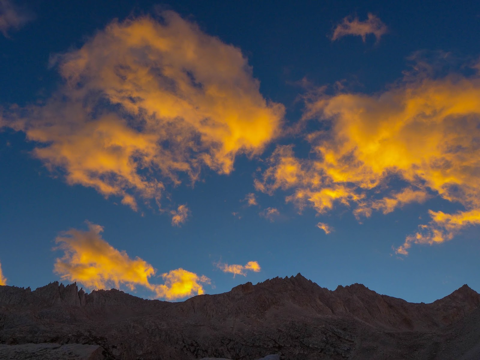
Morning Clouds Near Lake Italy

This year's 6 day High Sierra hike took us (Paul/Janet) over Mono Pass near Rock Creek, into the Mono Recesses, then a cross country route over Gabbot Pass to Lake Italy. After a layover day to explore the Lake Italy basin, we headed over Cox Col (13,040') to return to Little Lakes Basin. It is at Cox Col where we ran into some difficulty on an otherwise smooth trip. If you'd like to cut to the chase, just read Day 5!

Day 1 - Rock Creek, Mono Pass, Golden Lake 

We start our hike at around 12:30 P.M. at Mosquito Flat near Rock Creek.
Janet works her way up the Mono Pass Trail

I like to do a half day on the first day, just to get used the pack and the hiking. In an afternoon, we can always get in far enough beyond the day hikers so all is good. The trail head here is at 10,200' so it's an easy 1800', 3 mile climb up to Mono Pass, one of the easiest ways over the Sierra Crest.
View of Little Lakes Basin as we ascend Mono Pass Trail
Ruby Lake from Mono Pass Trail
Old Stump, Mono Pass Trail
Janet ascends near Mono Pass
Strange looking dude near Mono Pass
A hiker ascends the North side of Mono Pass as we descend to Summit Lake
Janet descends near Summit Lake North side of Mono Pass

Summit Lake North side of Mono Pass

Summit Lake North side of Mono Pass

Red and White Mountain from near Mono Pass

Janet descends toward Golden Lake

Paul descends off trail toward Golden Lake
Golden Lake comes into view. There is a good use trail high on the Western (left) side.

We camp that night at Golden Lake (10,994') and have it to ourselves.

Paul cooks dinner at Golden Lake

Our camp at Golden Lake... blissful evening before the rain
In the absence of large trees, I look for a huge boulder to hang food. I can't explain the fancy footwork.
John Miur once said, "It never rains at night in the Sierra." That may have been true in his time, but now it's "almost" true. Earlier in the day we are treated to beautiful clouds and a nice breeze, but things are changing as we sleep. During the night we begin to here pitter patter of rain on our fly-less tent, so we jump out of our bags, do the midnight ramble to get the fly on, and we're back in the bags.

Morning at Golden Lake. Fly is on the tent.

Day 2 - Golden Lake to Pioneer Basin to Second Recess


As day breaks on day two, it's intermittent very light rain, mostly off, so we're able to have breakfast and pack up without everything being too wet. We hike down the drainage of Golden Lake to the Mono Creek trail.
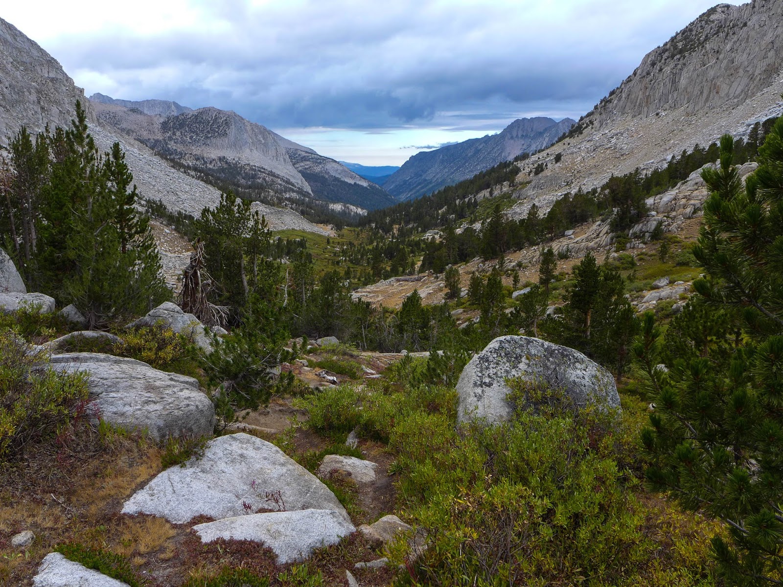
Hiking down the drainage of Golden Lake to Mono Creek Trail


At the trail junction to Pioneer Basin, we ditch some of our gear, hang our food, and proceed to explore Pioneer Basin during the late morning.

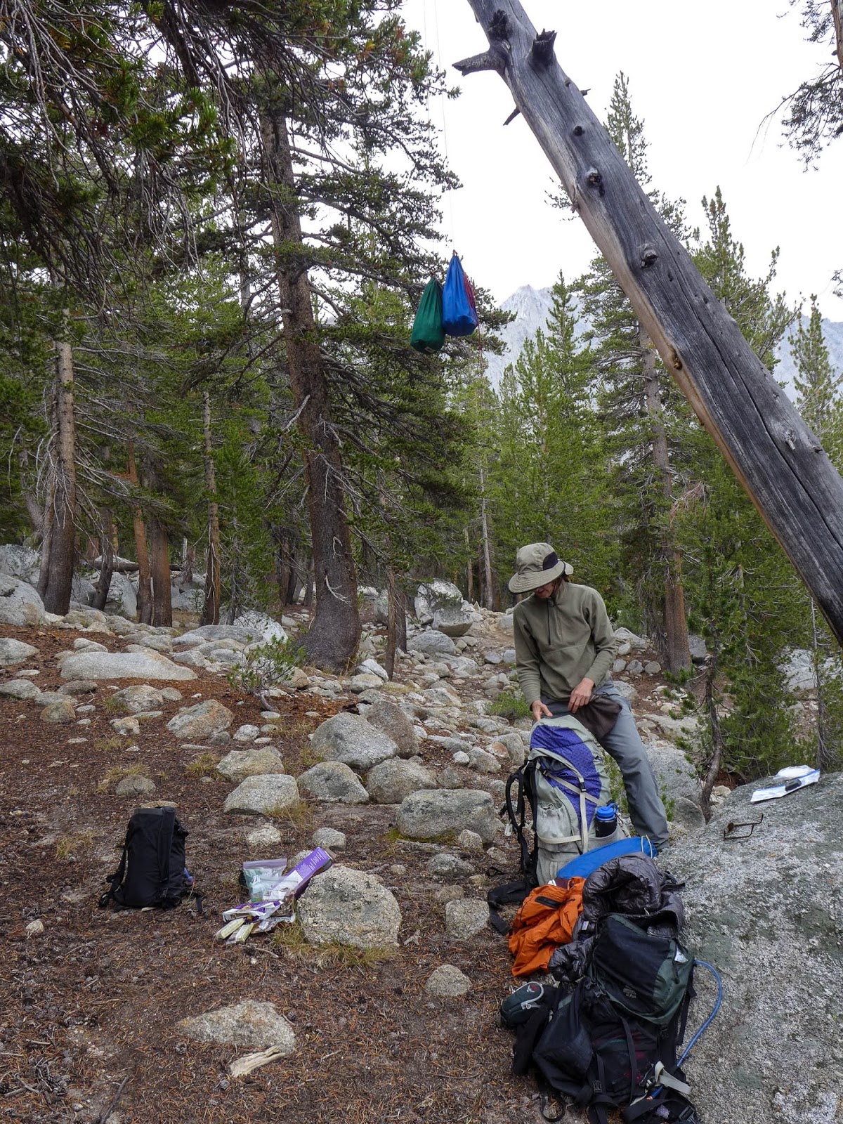
Hanging food and ditching some gear for the Pioneer Basin hike.
It's a splendid hike, we do a loop up the West side of the Basin along the lakes, all the way up to the uppermost lake at 11,200', then returning on a wonderful use trail along the East side of the basin. It's raining off and on all day, but very lightly, and it's really not much of a bother.
Janet hikes in the light rain in Pioneer Basin

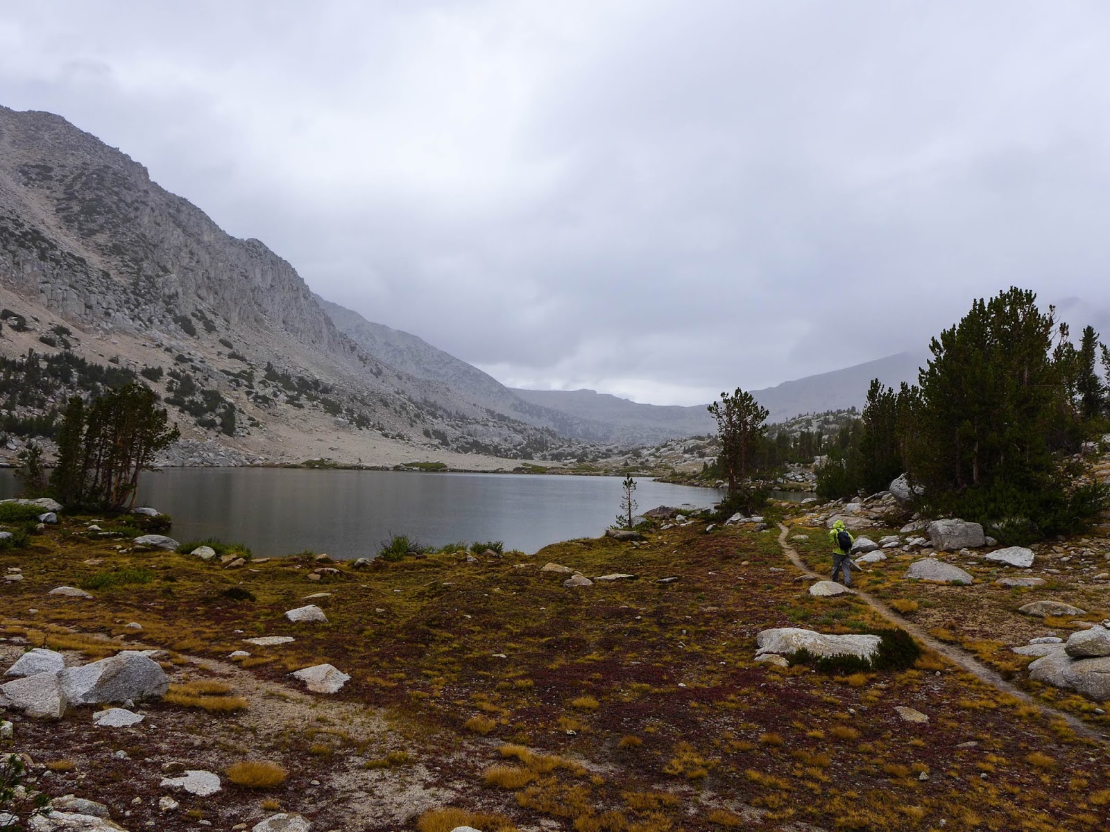
Lake, light rain, Pioneer Basin

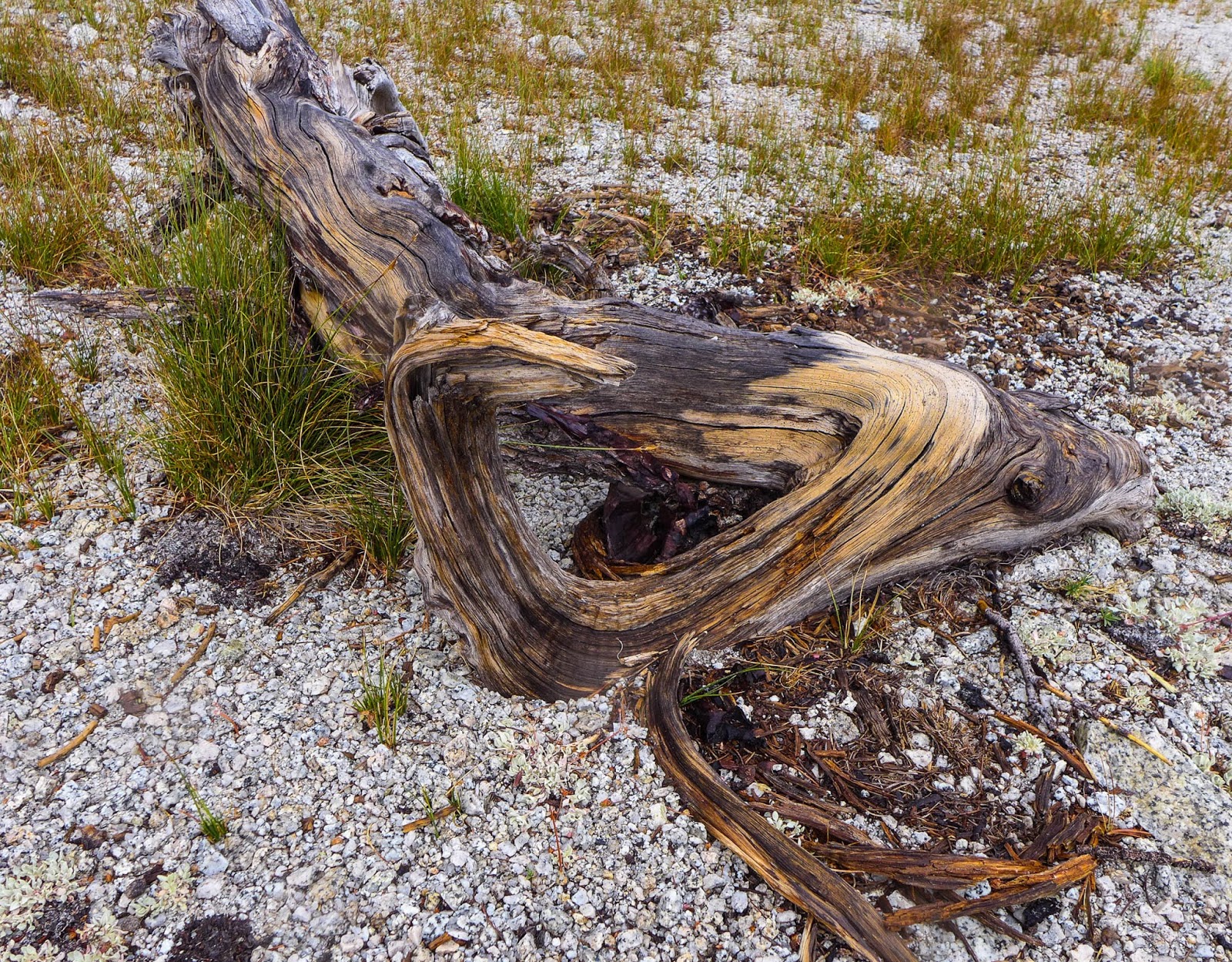
Dead wood, Pioneer Basin

Colorful Lichen, Pioneer Basin

Lunch break in Pioneer Basin

Lake in Pioneer Basin

Looking down Pioneer Basin from 11,000'

Drainage, Pioneer Basin

Dead wood, Pioneer Basin

Janet hikes down Pioneer Basin

Paul hikes down Pioneer Basin
 We pick up our ditched gear and march down the Mono Creek trail to Second Recess.
Janet heads down the Mono Creek trail toward Second Recess
We're not much for trails, really, and much prefer cross country hiking in the high country, but this "lowland trail" is a necessary evil to get us back into the high country. Today is a bit of a trudge, and Janet announces that she's had enough as we reach the Laurel Creek trailhead. I negotiate that we make it to Second Recess (less than a half mile) and from there we'll take the first camp spot. We arrive at the trail junction, and there is excellent camping there... but it's occupied. We cross Mono Creek on the Second Recess trail, which is high enough so that there is no easy crossing with dry feet. We remove our shoes, cross the creek (easy knee high water), and proceed a short way up the trail. Camping is very limited, but we find a nice little spot with a nearby creek. Dinner and a few sips of red wine make for a good conclusion to the day. The rain has subsided, but there are no stars. We put up the fly.
Camp in lower Second Recess

Your caption here...

Day 3 - Second Recess, Gabbot Pass, Italy Lake


We awake refreshed and ready to head back to the high country. Our camp is at 8500' and Gabbot Pass is at 12,240, so we've got a bit of a chore to do today.

Back lit Aspen leaves getting ready to turn
Janet climbs to higher ground in Second Recess
Climbing up the steep Mills Creek drainage en route to Gabbot Pass
Dried mud flat near Lower Mills Creek Lake

The cleverly named Gabbot pass is between Mt. Abbott and Mt. Gabb. There is a good trail up the first part of Second Recess, so we make good time. Once we turn off and follow Mills Creek, things get a bit harder. The use trail is hard to find or nonexistent. We follow what we think is the right way but eventually end up higher on the ridge North of Lower Mills Creek Lake than we'd like to be. So we traverse, holding our elevation, and make our way back toward Mills Creek. There we find ourselves bushwhacking through thick Willows. We finally spring ourselves free and things open up near Lower Mills Creek Lake. Ahhh, back in the High Country!
Beautiful Lower Mills Creek Lake. Gabbot Pass is center right.
Climbing above Lower Mills Creek Lake to Upper Mills Creek Lake
Looking down at Lower Mills Creek Lake (10,851')

Enjoying a nice lunch at Upper Mills Creek Lake

From here up to Upper Mills Creek Lake is gorgeous, scenic, and easy. We climb above the Upper Lake, and make our way to the little tarn just below the pass.

Terrain above Upper Mills Creek Lake

Working our way up the talus below the final small tarn

Small tarn near the summit. Gabbot Pass is upper center.

Looking back at the small tarn before the summit

Final summit push up the talus. Gabbot Pass is an easy Class 2 hike. Small tarn in background.
The final push to Gabbot Pass.

There is some talus hopping to do here, but it's all straightforward and easy. From the small tarn it's one more push of talus over the pass, then an easy hike down to the Lake Italy Basin.


The South side of Gabbot Pass is easy
We choose to camp at Toe Lake, which is the western extension of Lake Italy. It's a bit windy, but we set up our tent and kitchen area for optimum views of the lakes.
Clouds above Lake Italy

Camp at Eastern shore of Toe Lake (Lake Italy)

Day 4 - Exploring Lake Italy Basin

Brewing morning coffee near Lake Italy

Janet seeks shelter from the wind and the comfort of a warm cup of tea

Today is a layover day, but doesn't go quite as planned. The idea is to go to Italy Pass and down to Granite Park to explore for a bit. However, I don't really study the map or compass very well, and instead we find ourselves at a 12,000' lake directly East of Toe Lake. The good news is that the lake is beautiful, and we'd otherwise probably never go there so it's nice to see it! 

Intense morning light on our talus climb


Looking down at Toe Lake and Lake Italy as we climb.

Beautiful Lake at 12,000' near Lake Italy. Rarely visited.

I decide we'll try to traverse, keep our elevation, and try the next pass over. the un-named pass between Italy Pass and Toe Lake. The traverse is tedious, and the pass looks challenging, so we throw in the towel on the idea, and rather, decide to head for Jumble Lake for a nice lunch. 

 
Janet negotiates a traverse on tricky talus

Janet is dwarfed by the huge talus slope. Can you find her in the center?

Making it up and over Italy Pass at this point is out of the question. We decide to try the more difficult, but shorter route along the South side of Lake Italy. This involves some big talus hopping, with Smart Car size boulders, but it's fun and goes pretty quick. We make our way to Jumble Lake, and the wind is howling, so we choose to descend and find some shelter a bit lower behind a rock for our lunch. On the return trip, we hike clockwise around Lake Italy, a much easier but longer route.

Jumble Lake above Lake Italy and below Italy Pass

Hiking around Lake Italy

Beach and Surf on Lake Italy. It was very windy,

Looking across at the South Shore of Lake Italy, a talus problem we tackled earlier in the day.
The wind continued to pound us, so we moved the tent and kitchen behind the big boulder and it was effective.

Day 5  - Lake Italy, Cox Col, Treasure Lakes, an epic adventure

After being pummeled by the wind for 2 days, we wake up to a calm morning. Janet says, "This is how it's supposed to be."

Paul heads out toward Cox Col (upper middle right) with a clean slate. No worries, we have no idea what is in store.
We head out in the morning for Cox Col, a 13,040' notch in the crest that will take us back to Little Lakes Basin. We survey the route from our campsite, and we have the route more or less dialed. We hike up easy slopes with some talus and grass on the lower slopes, giving way to larger talus fields as we ascend. At about 12,400' we can't see the col, so I pull out the  map and compass, establish our location, then determine exactly where the col is located.


Checking the location of Cox Col with map and compass
High Elevation Granite
The high country for sure, near 13,000', Mt Abbot (13,704') in the distance.
Janet works her way up the final sandy slope to Cox Col

We proceed, and make the Col perfectly, walking up the easy, final sandy slope. The view into Little Lakes Basin is absolutely stunning. Just amazing!

Little Lakes Valley from Cox Col

Janet surveys the down climb problem from Cox Col

But I look down the notch and see a very challenging down climb! It's OK, though, my old guide book, R.J. Secor's First Edition, Peaks, Passes and Trails, describes a slightly easier route down the next notch to the South. I've ascended this route in the past and didn't remember anything particularly difficult... But things have changed.

Happy times at lunch, the calm before the "storm."
Just before dropping in, I had scouted the down climb at this point. You can see the concern on my face. I know what is coming.

After a nice lunch, I take Janet over to the next notch and show her what is involved. There is a move you have to make to drop into the chute, and she isn't comfortable doing it with her pack. No problem," I say, "You go first without pack and I'll hand it down to you." She goes, makes the move, and when it's time to hand her the pack, she isn't able to take it. She needs to drop down more, but then she'll be out of reach. No problem, I'll just make the move myself, and when I am on the ledge, I'll grab the pack with one hand and pass it down. I execute this move, hanging on for dear life with one hand, while I pass Janet's pack down with the other.

In order to enter the chute, you've got to enter left, then grab that rock tongue on the right, swing down, and drop in. It's straight down. The talus you see below in the middle is 500' down.
Janet is down in the loose chute now, and there is a secure place to stand at the top. I am in a holding pattern on the ledge. Janet attempts to put her pack on but just can't seem to get it done. She just isn't comfortable, so finally just ejects the pack and lets it go. It bounces to the ground in the chute, but stays put. However, her Blue Enamel Sparkly Steel Cup ejects from the pack and tumbles down the chute. Clankety Clank, Clank, Clankedy Clank Clank. This goes on for what seems like 3 weeks. The sound is quite loud, and is echoing off the walls of Bear Creek Spire. I know everyone in the Lake Basin below can hear the sound. It just goes on and on. Janet and I look at each other thinking the same thing. "This isn't good." If the cup goes forever, then if we fall, we'll likely tumble to our deaths.

I tell Janet just to get herself down the chute, I'll deal with her pack either by carrying both packs down, or coming back for it. She starts down, in near panic mode, and puts her foot on a huge 300 lb. rock that looks stable. But nothing in this chute is stable. The big rock begins to slide, as does Janet. She arrests herself, but is in full panic mode now. I tell her to stay put, and I'll come around her. Perhaps if I am below, she'll feel more secure. I inch down the chute with my own pack and also Janet's. I relay her pack down, a few feet at a time. Each move I try to find a place where her pack will stay put, then I down climb a few feet, then repeat.

I get below her in a safe place. The chute is so loose that any moves by the person above will send a rock and scree slide down on the lower person. But I am hiding behind a rock and ask Janet to come down. I have a firm hold and can offer an arrest if she needs it. She makes it down to me and now it's my turn to move lower. There are no more safe places to hide, so I will need to make it down to the bottom of the chute and Janet will be on her own.


Janet works her way into the upper part of the chute at Cox Col
 I make my way down on the left side of the chute, but then notice that all the scree that I am releasing is going over a ledge. It isn't safe for me to continue, so I move to the right side of the chute and move down. After a bit I am near the end of the chute, but the last part looks really difficult. Now the left side looks better. So I move left all the while moving Janet's pack down with me, trying to find secure places where it will stay put while I move a few feet down. I'm thinking to myself, wow, I really have my hands full here! Trying to negotiate this thing with two full packs, plus trying to keep Janet calm enough so she can make it down safely.

Now I am on the left side of the chute. I find a place where Janet's pack will stay for a moment. I place it, and it looks secure. I begin my down move, and the pack takes off. It's rolling down the chute, and there is no way I can lunge for it. That would be suicide. The good news is that the pack is rolling smoothly down the chute, like a snowball, not bouncing around. So I figure, well, maybe it has a chance to survive, though realistically, it will be shredded to bits, and if we find anything, it'll be a yard sale. I watch Janet's pack go down the chute, then down the scree field, then make a right turn out of sight down the canyon onto the larger talus rocks.

I work my way down the rest of the way, find a safe spot at the bottom and begin to coach Janet down. To her credit, despite her state of severe panic, she never froze. She knew she had to make it down, and she did what she needed to do to make it down safely on her own, at her pace, and I'm quite proud of her for that.

Although we have a lot of difficult talus and scree still to do, we are now totally out of the woods. A difficult descent lays ahead, but the risk is nothing compared to what we just got through. We descend the scree field and find Janet's blue enamel cup, which is dented, bent, and chipped, and is no longer round.

We find Janet's blue sparkle enamel cup down in the scree, dented, beat up, but still usable.
We proceed down the slope to the talus field, and a short way down we find her pack. It's almost a miracle, but the pack is totally intact, save for a few scuffs and bruises. All the gear in the side mesh pockets is still there, and it's functionally perfect.

We encounter Janet's pack in the talus (lower middle right of photo).
From Dade Lake you can see Cox Col, just left of the low notch in the middle right of the photo. North Col is the higher, but easier pass on the upper right of the photo.

Now we have a long down climb to Dade Lake. We're both pretty exhausted, but I convince Janet to continue down to Treasure Lakes, where I hope to find a campsite with splendid views. We do. We sleep under the stars enjoying them all night as we celebrate being alive.
Treasure Lakes. Our camp will be at the outlet, overlooking the valley to the North

Our high camp near Treasure Lakes, 11,200'

Treasure Lake and Bear Creek Spire in evening light.

Stars from our camp at Treasure Lakes

Ed Note: I've done Cox Col before, and it wasn't an issue, seemed totally routine in the climb direction. I think the dry year and lack of ice and snow in the chute has left it bone dry. For that reason, the entire chute was very loose scree, and there was no secure footing whatsoever. I also discovered, after the fact, that there are two new editions of the guide book I was using. In the latest edition, the author recommends North Col, which is North of Cox Col, and although it is a bit higher, it is much easier. Cox Col is named after Chris Cox, a High Sierra Ski Touring Pioneer, who was instrumental in fashioning the Red Line Ski Tour route across the Sierra Nevada, a high, high crossing. I had the pleasure of ski touring with Chris in the 70's when he was a young guide in Yosemite.
A couple of quotes from others:

"I am writing this trip report largely because I consider Cox Col, the only reasonable route between Little Lakes Valley and Lake Italy, to be dangerously under-rated and/or poorly described. Aside from my own misadventure, I am encouraged to write because of the experience of others."  Gerry Czamanske

"Did someone make a mistake when classifying this pass? After searching the saddle and arriving at a unanimous decision, we agreed that with the snow and steepness of the south face, this pass was much too dangerous to continue. We'll have to look for an alternate route to the valley below... The only route into the valley where our transportation is located will increase our hiking time another three days." — Tony Krizan


Day 6 - Treasure Lakes, Morgan Pass, Gem Lakes, Little Lakes Basin


Morning at Treasure Lakes, looking North down the valley

Looking South from Treasure Lakes at Bear Creek Spire and Mt. Dade

After the previous day's adventures, we decide a nice, tame conclusion to our trip is in order.
Looking down at our route from Treasure Lakes to Long Lake
Long Lake

Chicken Foot Lake

Chicken Foot Lake looking SE toward Morgan Pass
From our wonderful camp at Treasure lakes we hike down the drainage to Long Lake, ditch some gear, then hike back up the Little Lakes Valley trail to Morgan Pass, visiting Chicken Foot Lake on the way. From there we explore the Gem Lakes, before heading back down the trail to conclude our trip.
Trail up to Morgan Pass (middle right). This used to be a road.

Bear Creek Spire and Mt. Dade from Morgan Pass

Gem Lakes

Gem Lakes

Gem Lakes

As it turns out, Morgan Pass used to be navigable by vehicle or horse cart and is quite wide in most places.
An abandoned vehicle frame on Long Lakes Valley Trail
 We discover what appears to be an abandoned cart of some sort. It's of relatively modern technology, certainly from the 20th century, with proper leaf springs and steering knuckles, and it appears it was probably horse drawn. In my research, I did discover that vehicles were driven over the pass in the 1920's. They had to fill burlap sacks with water from the stream, and place them over the engine hood in an effort to avoid overheating. They had to stop multiple times to refill the burlap sacks from the creeks to make the trip.

In all, this is a wonderful loop. Aside from our ordeal on Cox Col, the trip went smooth, and I would highly recommend this loop for experienced backpackers, noting that the preferred route is North Col vs. Cox Col.
Haggered and happy after six days on the trail